OLCI Level 2 CHL Concentration Daily Accumulated - Sentinel-3
Abstract:
This Ocean Colour product represents the algal pigment (Chlorophyll a) concentration in clear open waters, and it is defined by the 'OC4Me' Maximum Band Ratio (MBR) semi-analytical algorithm.
The product is derived from S3 OLCI L2 NRT water-leaving reflectances (calculated from the Baseline Atmospheric Correction).
A maximum band ratio approach is used for reflectances at 443, 490 and 510 nm, over that 560 nm (O3 to O6).
It is expressed in Units of mg/m3 as: log10 [Chl]= ∑4 x=0 =(Ax * (log10(Rij))x) which is the ratio of reflectance of band i, among 443, 490 and 510 nm, over that of band j at 560 nm.
The following flags were applied: INVALID, LAND, CLOUD, CLOUD_AMBIGUOUS, CLOUD_MARGIN, SNOW_ICE, SUSPECT, HISOLZEN, SATURATED, HIGHGLINT, WHITECAPS, AC_FAIL, OC4ME_FAIL, ANNOT_TAU06.
Full details of the chl_oc4me algorithm can be found in the case 1 resource link.
The image is an incrementally accumulated product of all the orbits over an entire day from both Sentinel-3A and -3B.
Sentinel-3 is part of a series of Sentinel satellites, under the umbrella of the EU Copernicus programme.
This product can be downloaded as numerical data in EUMETView NG, where it is provided through a Web Coverage Service (WCS).
Download plain xml file
To get the data: go to WIS-Portal
Metadata Information
General
| Attribute | Value |
|---|---|
| fileIdentifier/identifier | urn:x-wmo:md:int.eumetsat:EO:EUM:DAT:0027 |
| language | eng |
| characterSet | utf8 |
| hierarchyLevel | series |
| hierarchyLevelName |
|
| contact | see section contact (role: pointOfContact) |
| dateStamp | 2024-01-18 |
| metadataStandardName | WMO Core Metadata Profile of ISO 19115 (WMO Core), 2003/Cor.1:2006 (ISO 19115), 2007 (ISO/TS 19139) |
| metadataStandardVersion | 1.3 |
| referenceSystemInfo | |
| metadataExtensionInfo |
identificationInfo
| Attribute | Value |
|---|---|
| citation | |
| abstract | see above |
| status | onGoing |
| purpose | |
| pointOfContact | see section contact (role: originator) |
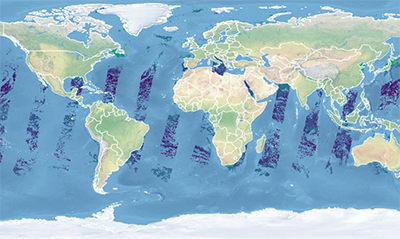
| graphicOverview | https://navigator.eumetsat.int/preview/OL_L2_CHL_ACC.png |
| resourceMaintenance |
|
| descriptiveKeywords: |
|
| resourceConstraints |
|
| language | eng |
| characterSet | utf8 |
| topicCategory | climatologyMeteorologyAtmosphere |
| extent | boundingExtent
|
Contact
Role: pointOfContact
| Attribute | Value |
|---|---|
| individualName | European Organisation for the Exploitation of Meteorological Satellites |
| organisationName | EUMETSAT for Copernicus |
| contactInfo |
|
Role: distributor
| Attribute | Value |
|---|---|
| individualName | European Organisation for the Exploitation of Meteorological Satellites |
| organisationName | EUMETSAT |
| positionName | |
| contactInfo |
|
Role: originator
| Attribute | Value |
|---|---|
| organisationName | EUMETSAT for Copernicus |
| contactInfo |
|
contentInfo
| Attribute | Value |
|---|---|
| CoverageDescription: |
|
distributionInfo
| Attribute | Value |
|---|---|
| distributionFormat |
|
| transferOptions (onLine) |
|
dataQualityInfo
| Attribute | Value |
|---|---|
| scope | series |
| report |
|
| lineage |
|