Snow detection (snow mask) by VIS/IR radiometry - MSG
Abstract:
Binary map of snow / no-snow situation. VIS/IR images from GEO are used. The product may be processed in different ways and have different quality depending on the surface being flat, forested or mountainous. The algorithm is based on thresholding of several channels of SEVIRI, the most important being those in short-wave, thus the product is generated in daylight. In order to search for cloud-free pixels, multi-temporal analysis is performed over all images available in 24 hours (in daylight) Both algorithms (flat land and mountains) will be applied to all pixels, a default mountain mask will be applied however users are able to apply their own mountain masking.
Download plain xml file
To get the data: go to WIS-Portal
Metadata Information
General
| Attribute | Value |
|---|---|
| fileIdentifier/identifier | urn:x-wmo:md:int.eumetsat:EO:EUM:DAT:0395 |
| language | eng |
| characterSet | utf8 |
| hierarchyLevel | series |
| hierarchyLevelName |
|
| contact | see section contact (role: pointOfContact) |
| dateStamp | 2022-07-04 |
| metadataStandardName | WMO Core Metadata Profile of ISO 19115 (WMO Core), 2003/Cor.1:2006 (ISO 19115), 2007 (ISO/TS 19139) |
| metadataStandardVersion | 1.3 |
| referenceSystemInfo | |
| metadataExtensionInfo |
identificationInfo
| Attribute | Value |
|---|---|
| citation | |
| abstract | see above |
| status | Pre-operational |
| purpose | |
| pointOfContact | see section contact (role: originator) |
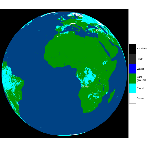
| graphicOverview | https://navigator.eumetsat.int/preview/20210302_merged_SC_FD.png |
| resourceMaintenance |
|
| descriptiveKeywords: |
|
| resourceConstraints |
|
| language | eng |
| characterSet | utf8 |
| topicCategory | climatologyMeteorologyAtmosphere |
| extent | boundingExtent
|
Contact
Role: pointOfContact
| Attribute | Value |
|---|---|
| individualName | EUMETSAT SAF on Support to Operational Hydrology and Water Management |
| organisationName | H SAF |
| contactInfo |
|
Role: distributor
| Attribute | Value |
|---|---|
| individualName | EUMETSAT SAF on Support to Operational Hydrology and Water Management |
| organisationName | H SAF |
| positionName | |
| contactInfo |
|
Role: originator
| Attribute | Value |
|---|---|
| organisationName | H SAF |
| contactInfo |
|
contentInfo
| Attribute | Value |
|---|---|
| CoverageDescription: |
|
distributionInfo
| Attribute | Value |
|---|---|
| distributionFormat |
|
| transferOptions (onLine) |
|
dataQualityInfo
| Attribute | Value |
|---|---|
| scope | series |
| report |
|
| lineage |
|