Identification information section
| Attribute | Value |
| citation |
- title:
- HIRS Level 1B - Metop - Global
- dates:
- creation: 2009-03-23
- revision: 2010-09-21
- fileIdentifier:
- EO:EUM:DAT:MULT:HIRSL1
(CodeSpace: )
- citedResponsibleParty:
- see section contact (role: distributor)
- presentationForm:
- otherCitationDetails:
|
| abstract | see above |
| status | Discontinued |
| purpose | |
| pointOfContact | see section contact (role: originator) |
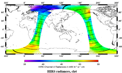
| graphicOverview | https://navigator.eumetsat.int/preview/hirs.jpg |
| resourceMaintenance |
- maintenanceAndUpdateFrequency:
- updateScope:
- maintenanceNote:
|
| descriptiveKeywords: |
- theme:
- theme:
- dataCentre:
|
| resourceConstraints |
- MD_Constraints:
- MD_LegalConstraints:
- accessConstraints: copyright
- useConstraints: copyright
- otherConstraints: WMOOther
|
| language | eng |
| characterSet | utf8 |
| topicCategory | climatologyMeteorologyAtmosphere |
| extent | boundingExtent
- description:
- geographicElement:
- westBoundLongitude:
- eastBoundLongitude:
- southBoundLatitude:
- northBoundLatitude:
- temporalElement:
- beginPosition:
- endPosition: (indeterminatePosition = )
|